

Get to know who lives near you. Threatened wildlife may be closer than you think.
Their last stronghold
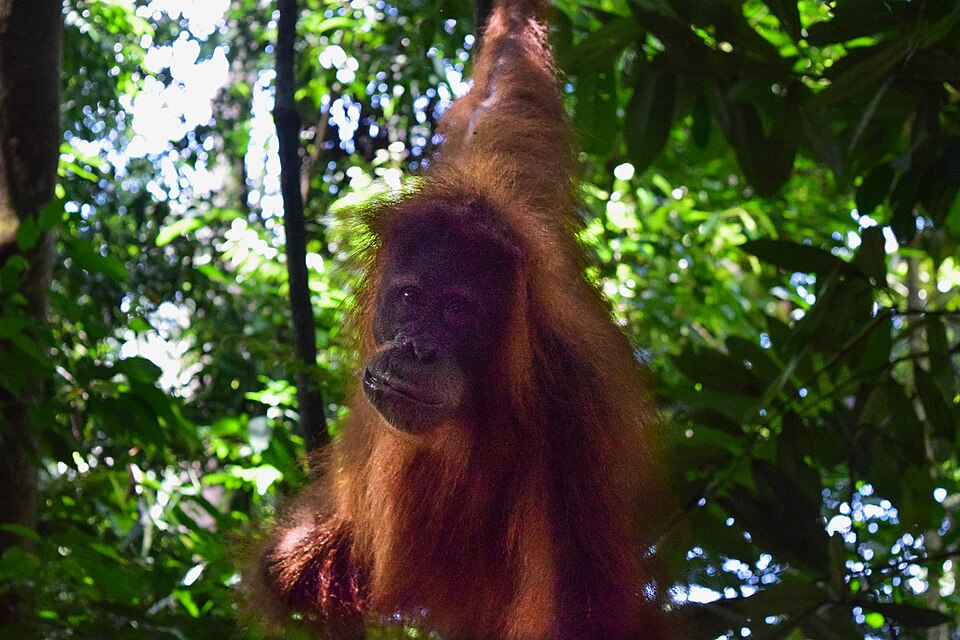
In the same forest, Sumatra's great animals still hold on. Every hectare lost narrows the space they have left.
 Critical (CR)
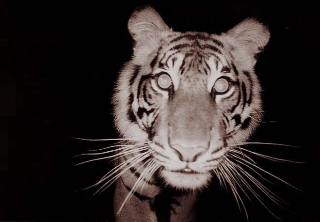 Critical (CR)
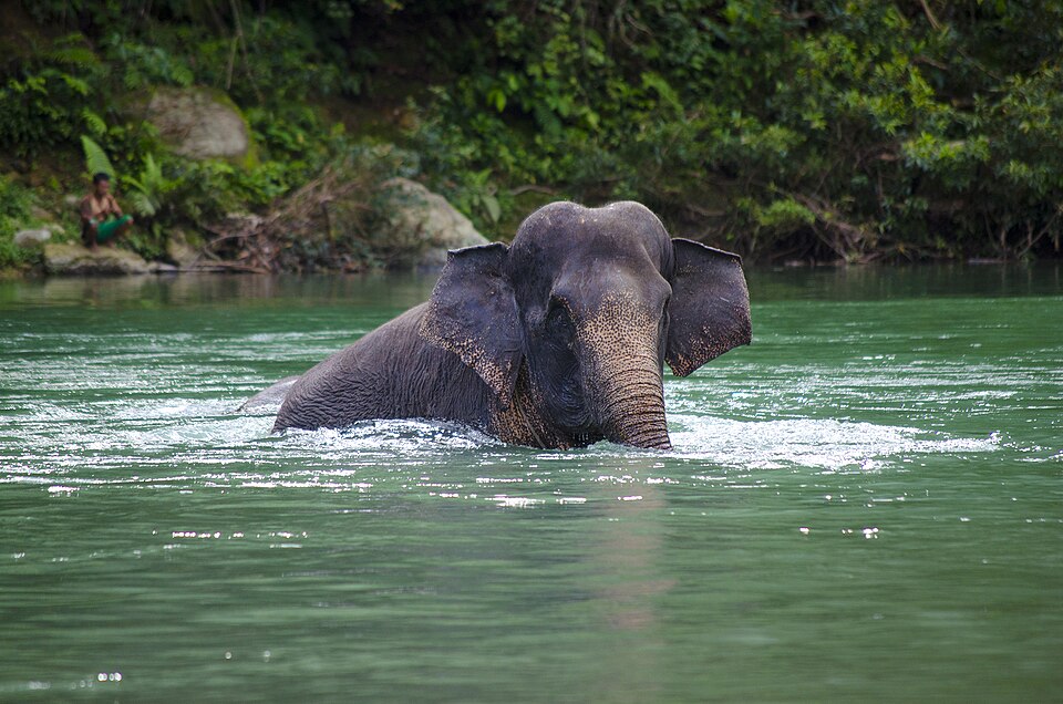 Critical (CR)
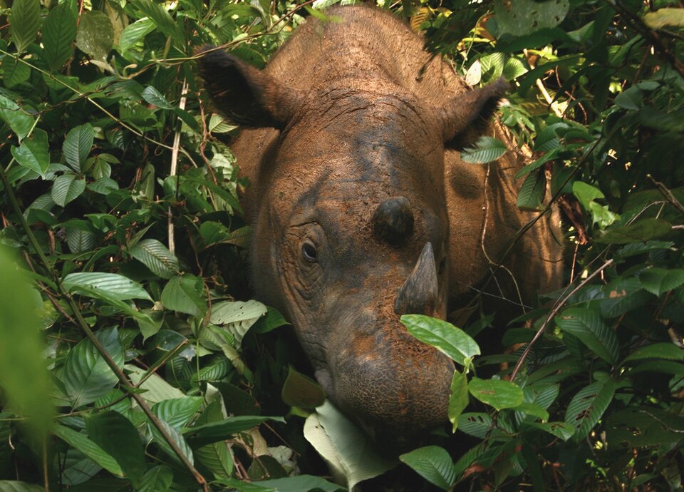 Critical (CR)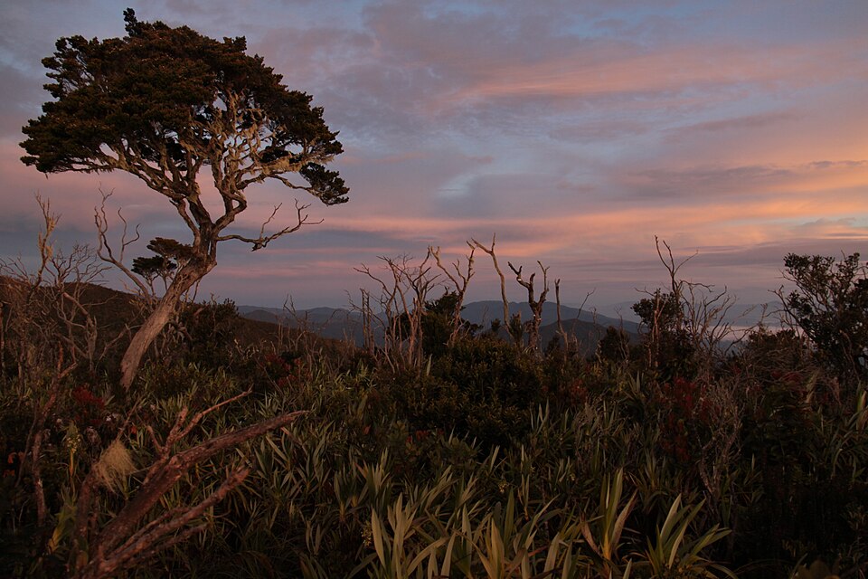
Gunung Leuser National Park
Climb the spine of the Barisan Range, where four of Sumatra’s giants still share one forest. Mountains, mist, and the wildlife that remains, in a single journey.
Start the story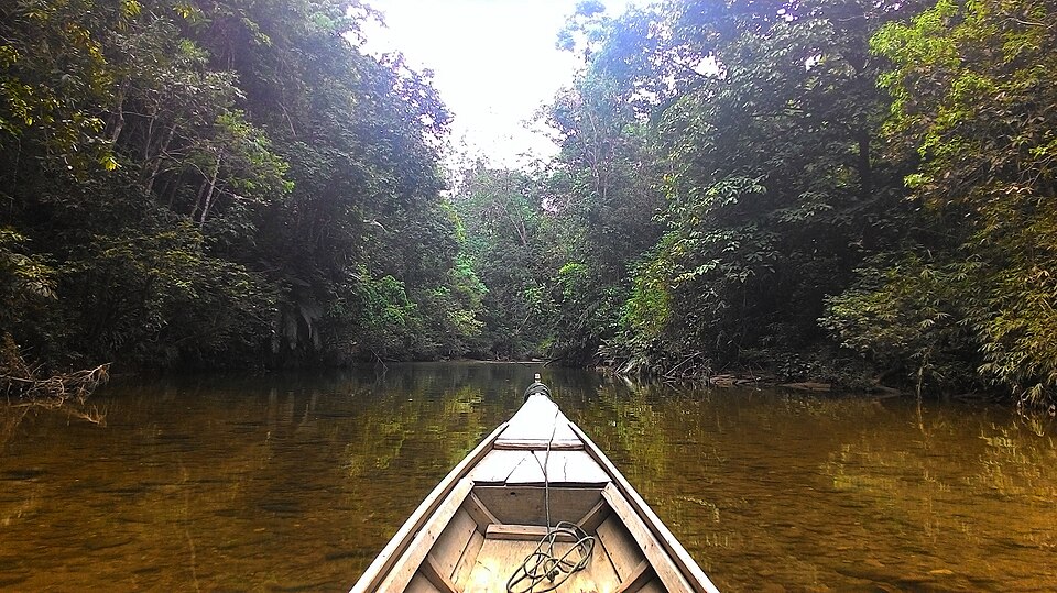
Tesso Nilo National Park
A cinematic flight over Tesso Nilo: what remains, what's been lost, and who still lives there. Data and sources, woven into one story.
Start the storyEvery layer, on a single map
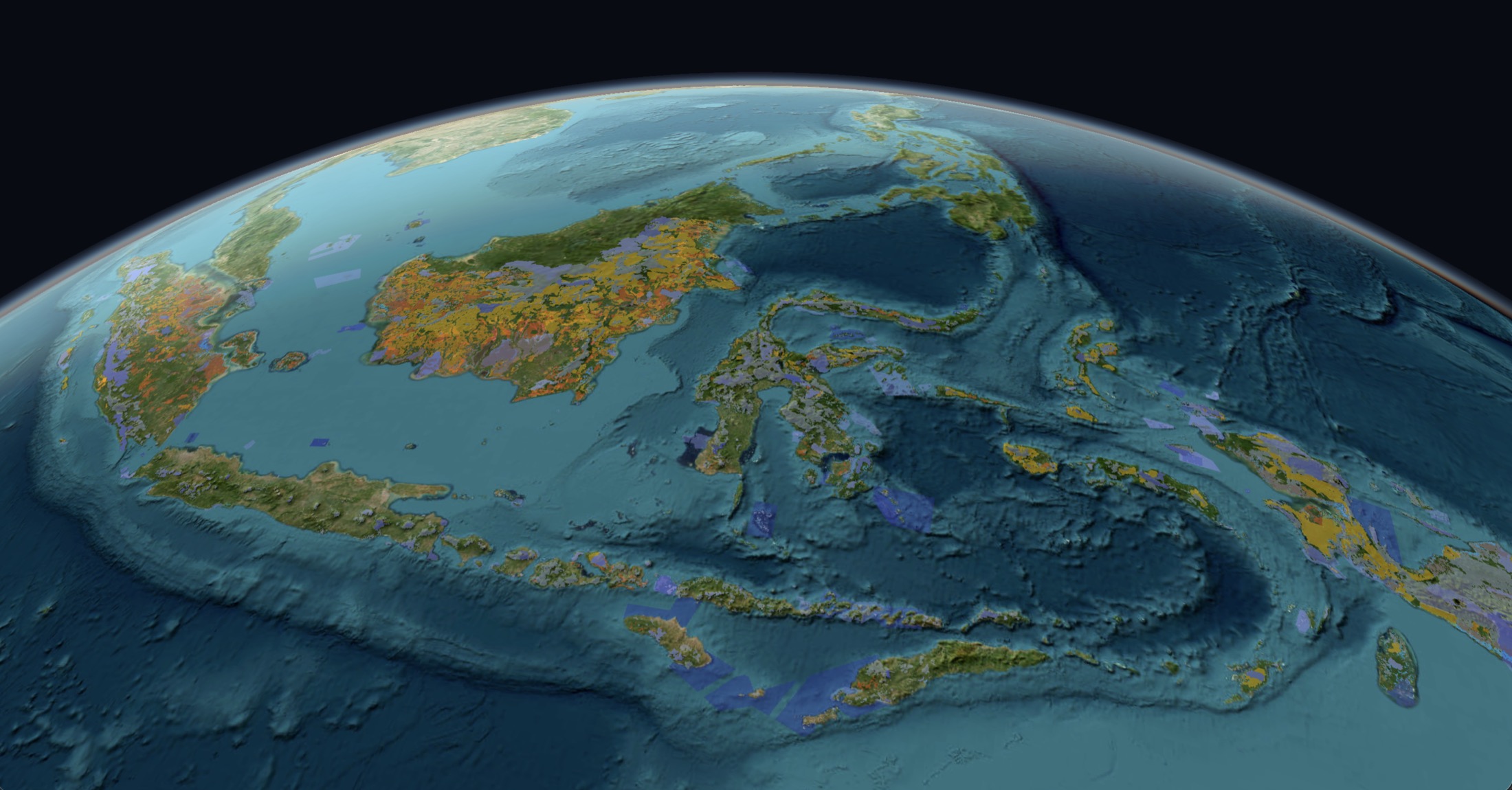
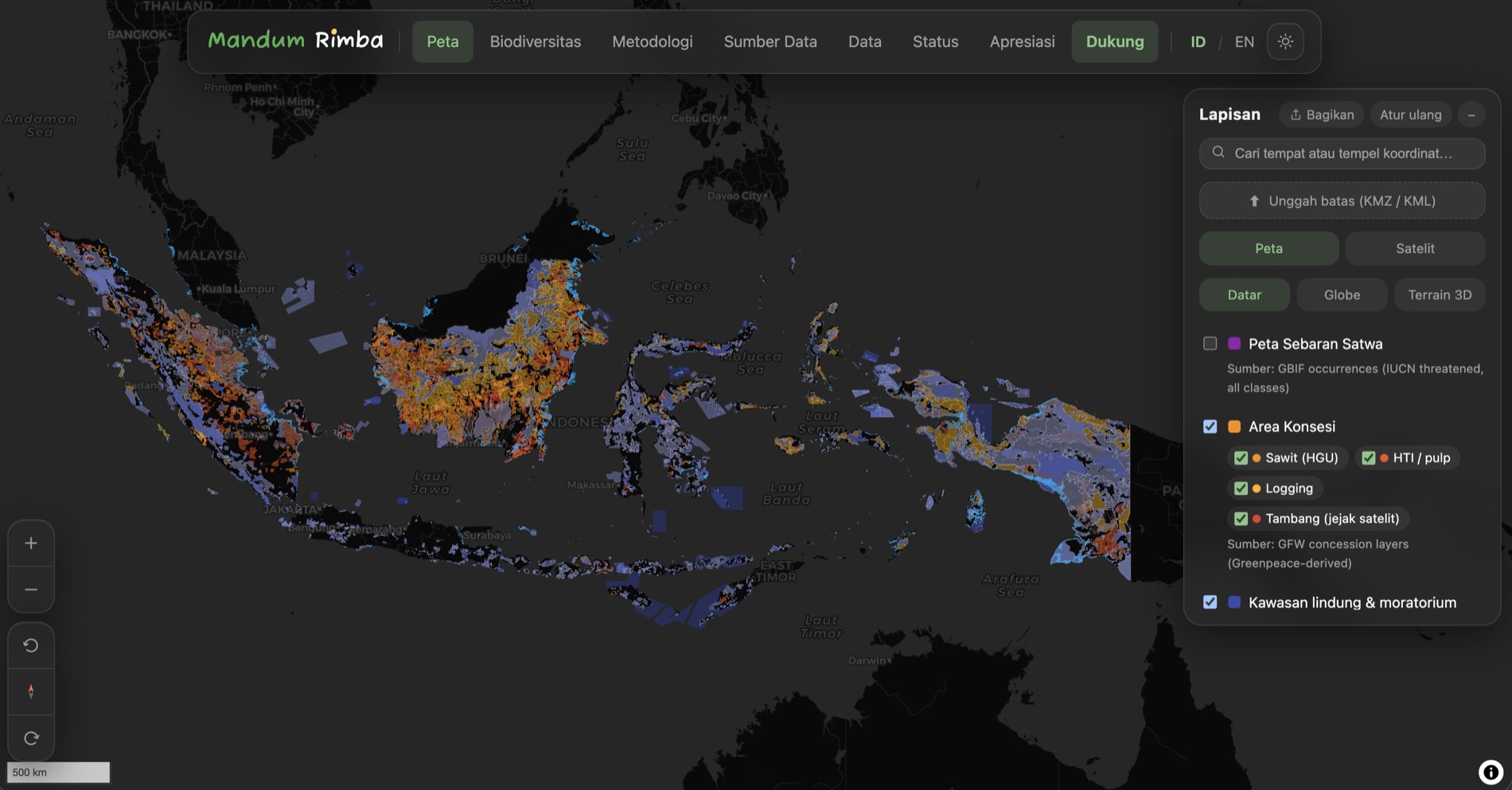
Deforestation, concessions, protected areas, and wildlife sightings, woven into one map you can rotate, tilt, and explore down to the village.
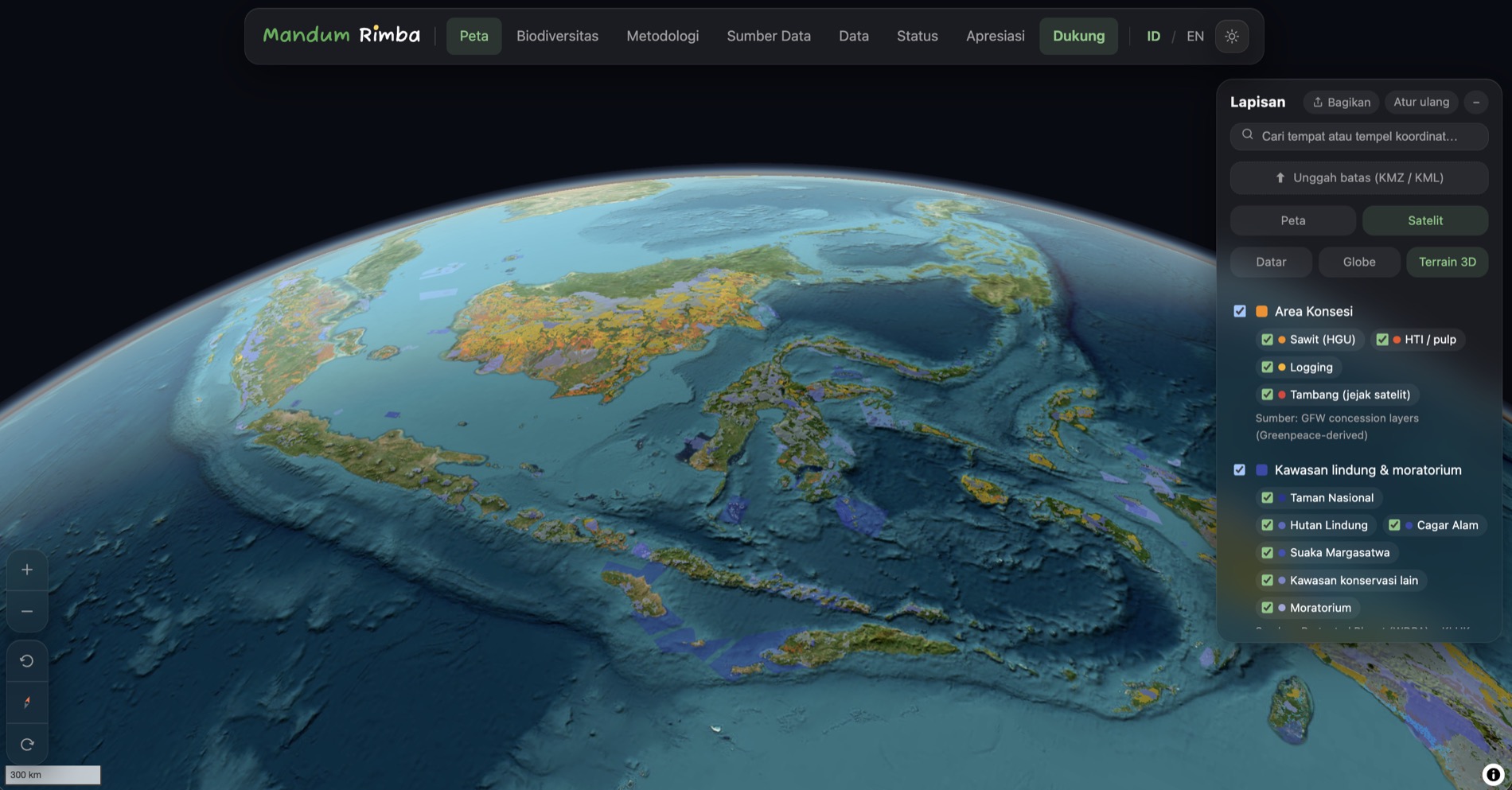
See forests and mountains in real relief. Tilt the earth, fly over the landscape, and feel the scale.
Indonesia deforestation & environmental-data transparency observatory
Sumatran elephants and tigers, Bornean orangutans, Sulawesi anoa, Papuan birds-of-paradise, one by one they lose the space to live as forest turns into palm plantations, mines, and cleared land. From the land to its seas, we distill credible satellite and public data into one map anyone can understand, so everyone can see what is happening, grasp the consequences, and act.
About Mandum Rimba
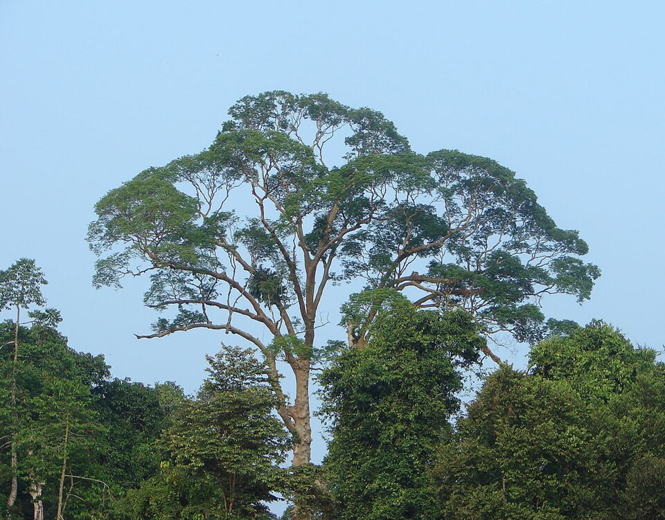
Mandum Rimba means the forest that belongs to all of us, not to one company, one government, or one generation, but a shared home for the people and wildlife who live in it. The name is born in Aceh, where our data first begins.
Mandum Rimba is an independent, non-profit public-interest observatory. We don't sell data, run ads, or take sides. We simply assemble credible satellite and public data into one open map anyone can check, all of the code is open source, and every number traces back to its source.
For the wildlife
These forests are the last home of the Sumatran elephant, the tiger, and the orangutan. Every hectare lost pushes them out and conflict with humans almost always ends badly for them.
For the people
Bare hills upstream mean floods and landslides downstream. We link disaster records to forest loss within the same watershed, so the connection is plain to see.
For those who work the land
Many people depend on this land for a living, and we are not here to judge. We show the data as it is, so everyone understands the consequences of what happens on the ground.
Open data, not accusations
We show official data and satellite imagery side by side, so you can read and compare them yourself.
Every claim is clickable
Anything on screen traces back to its source dataset in at most two clicks.
Reproducible
Our pipeline is open: anyone can re-run it and get the same numbers.
It starts with seeing
Awareness begins with clear information. Open the map, explore your region, and share what you find.
Open the map Threads
It began with a small conversation
Mandum Rimba grew out of small conversations on Threads, from people who care about the same thing. Here is part of the story.